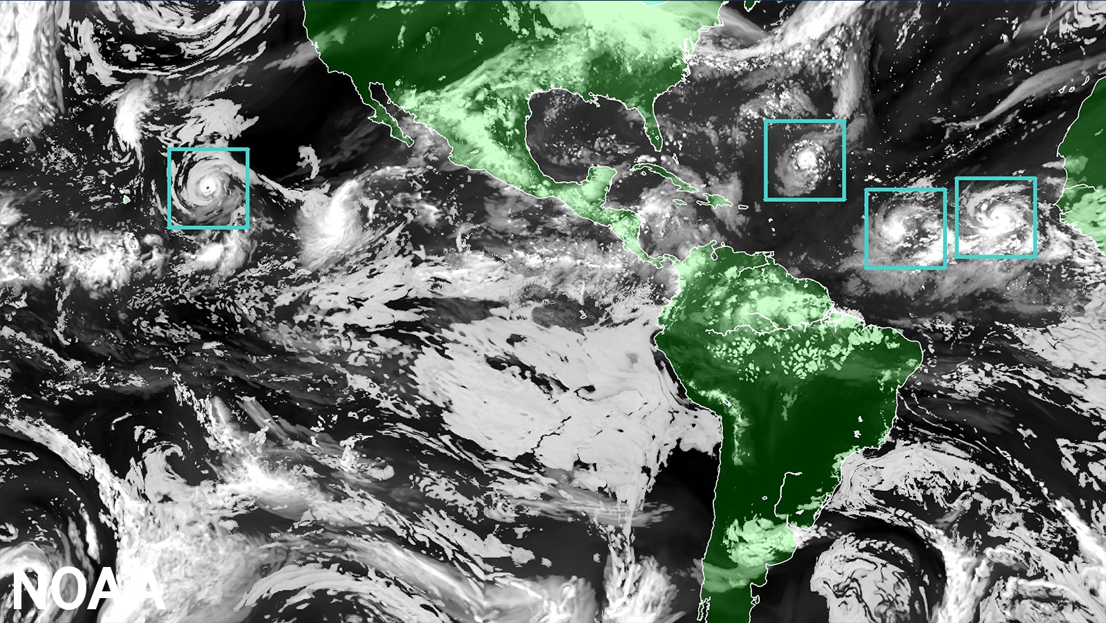
The NOAA's HAFS was the first model to predict 2022's Hurricane Ian would undergo a secondary rapid intensification as the storm moved towards southwest Florida. (Source: Shutterstock)
The U.S.' National Oceanic and Atmospheric Administration’s (NOAA) new hurricane forecast model, the Hurricane Analysis and Forecast System (HAFS), will work alongside existing models for the 2023 hurricane season and officially replace them starting 2024, NOAA announced in a press release.
HAFS, which was put into operation on June 27, was developed through community-based collaboration and the streamlining of the operational transition process. As the first regional coupled model to go into operations under the Unified Forecast System (UFS), it provides more accurate, higher-resolution forecast information over both land and ocean than previous iterations of NOAA’s storm modeling systems.

HAFS is comprised of five major components: a high-resolution moving nest, high-resolution physics, multi-scale data assimilation, 3D ocean coupling and improved assimilation techniques. The moving nest is the system’s foundational component, as it allows the model to zoom in with a resolution of 1.2 miles on areas of a hurricane that are key to improving wind intensity and rain forecasts. The data assimilation component allows for vortex initialization and vortex cycling, and its improvement allows for novel observations.
"Development, testing and evaluations were jointly carried out between scientists at NOAA Research and the National Weather Service, marking a seamless transition from development to operations,” NOAA Administrator Rick Spinrad said in a press release.
The experimental version of the HAFS that was in use from 2019 to 2022 showed a 10%-15% improvement in track predictions when compared to NOAA’s existing models. The HAFS ability to forecast storm intensity is comparable to past models, but its ability to predict rapid intensification is even better. Last year, HAFS was the first model to predict Hurricane Ian would undergo a secondary rapid intensification as the storm moved towards southwest Florida.
HAFS is the first new major forecast model that uses the Weather and Climate Operational Supercomputing System 2 (WCOSS2)—NOAA’s updated weather and climate supercomputers. It also uses the FV3, which is the same dynamic core as the U.S. Global Forecast System. This helps make the modeling portfolio more consistent and efficient, as it has the same starting point when used for hurricane prediction as the Global Forecast System.
NOAA developed HAFS as a requirement of the Weather Research and Forecasting Innovation Act of 2017, which called for NOAA to improve prediction capability for rapid intensification and storm tracking.
“With the introduction of the HAFS forecast model into our suite of tropical forecasting tools, our forecasters are better equipped than ever to safeguard lives and property with enhanced accuracy and timely warnings,” Ken Graham said, director of NOAA’s National Weather Service.
Recommended Reading
Williams Cos. COO Dunn to Retire
2025-03-13 - Williams Cos. COO Micheal Dunn was crediting with helping the company focus on a natural gas strategy.
Chevron Technology Ventures Would Like to See the Manager
2025-03-13 - Chevron Corp.’s Chevron Technology Ventures, which turns 25 this year, pays close attention to leadership teams when making investment decisions in technology startups.
Enbridge Appoints Steven Williams to Chair of the Board
2025-03-12 - Enbridge has appointed Steven Williams to lead the board of directors following Pamela Carter’s retirement as chair.
BlackRock CEO: US Headed for More Inflation in Short Term
2025-03-11 - AI is likely to cause a period of deflation, Larry Fink, founder and CEO of the investment giant BlackRock, said at CERAWeek.
Baker Hughes to Supply Equipment for NextDecade’s Rio Grande LNG
2025-03-11 - Baker Hughes will provide turbine and compression for NextDecade’s trains at Rio Grande LNG.
Comments
Add new comment
This conversation is moderated according to Hart Energy community rules. Please read the rules before joining the discussion. If you’re experiencing any technical problems, please contact our customer care team.


